
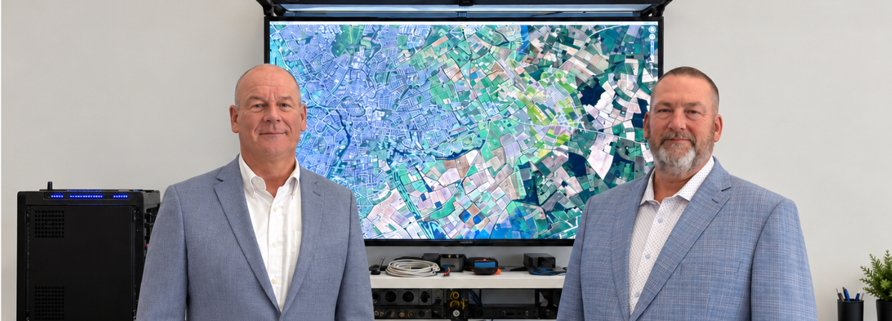
Echo Seismic has launched EchoVision, a specialist division providing near-surface seismic imaging and project management for geothermal, geotechnical and infrastructure projects worldwide.
EchoVision will manage complete investigation programmes or support individual stages, including survey design, equipment provision, acquisition, processing, imaging and interpretation. Its technical capabilities include multichannel analysis of surface waves (MASW), seismic refraction, 2D and 3D reflection seismic and ambient-noise tomography.
The division will use nodal recording systems, land streamers and a range of seismic sources to investigate bedrock depth, variations in ground stiffness and potential subsurface hazards. It will also coordinate permitting, site access, contractors and stakeholder engagement.
During a recent MASW survey in Cranbrook, British Columbia, the team produced a high-resolution image of the upper 30 m within three days of deploying the first receiver. The results supported an assessment of ground stability ahead of a proposed building development.
EchoVision director Rob Kendall said survey selection and design would be driven by the engineering questions facing each client, with seismic data integrated into the wider ground-investigation programme.

