
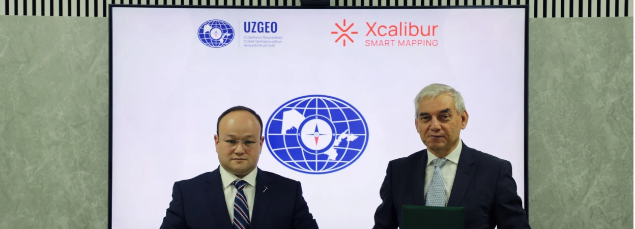
Xcalibur Smart Mapping has partnered with Uzbek Geological Exploration JSC to conduct a large-scale airborne geophysical mapping programme across Uzbekistan. The survey will focus on the Central Kyzylkum region, covering approximately 80,000 square kilometres—roughly 20% of the country's total territory.
The initiative aims to improve the understanding of the region's mineral potential by integrating newly acquired measurements with existing geological data. The collected data will be processed and interpreted using XENAI, Xcalibur's proprietary platform that utilises artificial intelligence tools to analyse complex geoscientific datasets.
Working alongside specialists from across the Xcalibur Group, the team will facilitate knowledge transfer and project delivery in direct coordination with Uzbek Geological Exploration JSC. The programme is designed to strengthen Uzbekistan's geoscientific foundation and support responsible, long-term investment in its domestic mineral sector.
Photo courtesy of Xcalibur.

