
Staatsolie Maatschappij Suriname will conduct a limited Environmental Impact Assessment for a planned shallow offshore seismic survey in Suriname, in line with guidelines from the National Environmental Authority.
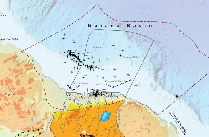
The wider study area covers approximately 41,600 km², extending from the Suriname coastline to the northern boundary of offshore blocks 6, 8, 9 and 10, about 110 km offshore. The area lies between the maritime borders with French Guiana and Guyana, with water depths ranging from the shoreline to around 70 m.
Within this area, Staatsolie expects to define a seismic survey covering approximately 2,000 km². The work is intended to provide further insight into the subsurface and the possible presence of oil and gas accumulations in Suriname’s shallow offshore domain.
Initial seismic acquisition is expected to begin in the third quarter of 2026 and is estimated to take around two months. Staatsolie has appointed engineering and consultancy firm ILACO Suriname to carry out the EIA.
Image: from "Geoatlas of Suriname", Staatsolie, November 2025

