
The Norwegian Offshore Directorate has announced a new milestone in its deep-sea mapping programme with the deployment of a state-of-the-art autonomous underwater vehicle (AUV) capable of operating at depths of up to 6,000 metres.
The latest development marks a significant step forward from the early days of seabed mapping, when surveys relied on relatively simple weighted instruments lowered from vessels. Today, high-resolution autonomous systems can collect detailed bathymetric, geological and geophysical data across vast offshore areas with unprecedented efficiency and accuracy.
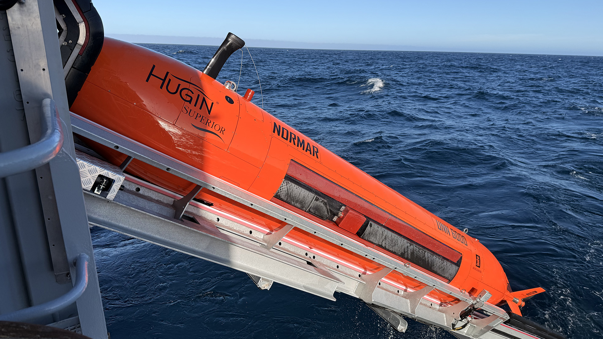
The newly deployed HUGIN Superior AUV is being used to map previously unexplored sections of the Norwegian Sea. Equipped with advanced sonar and seabed imaging systems, the vehicle can operate independently for extended periods while acquiring high-resolution data on seafloor morphology, geological structures and seabed conditions.
The initiative is being undertaken by the Norwegian Marine Data Centre and represents an expansion of Norway's long-term efforts to systematically map deep-water areas under its jurisdiction. The programme is expected to generate valuable new datasets for researchers, regulators and industry stakeholders working in marine geology, geophysics and ocean science.
As offshore activities continue to move into deeper and more complex environments, autonomous survey technologies are becoming increasingly important tools for acquiring high-quality geoscience data while reducing operational costs and vessel time. The latest deployment highlights the growing role of advanced robotics and autonomous systems in the future of marine geophysical surveying.
Image credit: Jørgen Ramse Vadla/ Norwegian Offshore Directorate

