
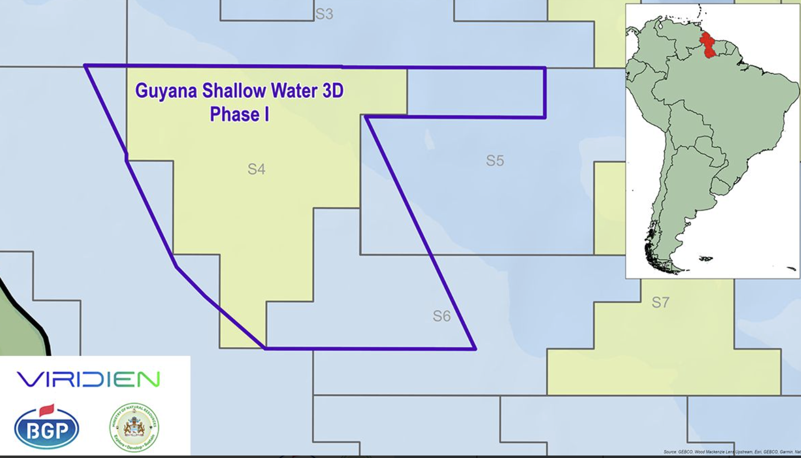
Viridien has launched Phase I of its Guyana Shallow Water 3D multi-client seismic survey, targeting a largely unexplored part of the Guyana Basin.
The survey forms the first stage of a wider acquisition and imaging programme covering approximately 25,000 km² across shallow-water Lots 2, 3 and 4. The acreage lies south of the prolific Stabroek Block and extends towards the maritime boundary with Suriname.
BGP will acquire the new seismic data, while Viridien will undertake the processing and imaging. Its workflow will include advanced shallow-water demultiple techniques and time-lag full-waveform inversion (TLFWI), designed to improve subsurface resolution in an area where water-bottom multiples can present a significant imaging challenge.
The resulting dataset is expected to provide a clearer understanding of the basin’s structure and petroleum systems, helping operators assess potential exploration opportunities and reduce risk ahead of future drilling decisions.
Viridien said the programme will also support Guyana’s future licensing activity by providing modern 3D coverage across acreage that remains substantially less explored than the country’s deep-water blocks.
The company has worked with the Guyanese government for more than 15 years, acquiring, processing and enhancing seismic data offshore the country.

