
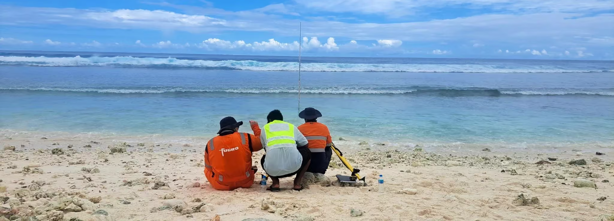
Fugro has completed high-resolution coastal mapping and ground surveys across Kiritimati, Tabuaeran and Teraina, three atolls in Kiribati’s remote Line Islands.
Using its RAMMS airborne LiDAR and imaging system, supported by survey control points, GNSS observations and tide gauges, Fugro acquired detailed coastal and topographic data. The resulting dataset will help assess coastal change, flood exposure and the potential impacts of sea-level rise.
The work forms part of the World Bank-supported Kiribati Outer Islands Resilience and Adaptation Project. Beyond informing coastal protection and environmental management, the Geo-data will provide an important baseline for resilient infrastructure planning, including the proposed development of Kiritimati as a secondary economic hub.
Image courtesy of Fugro

